← Home · Seismic

Soil Liquefaction Analysis in Napier: Seismic Safety on Silty Ground

Together, we solve the challenges of tomorrow.

LEARN MORE →

The soils beneath Napier tell two very different stories depending on where you drill. In the Art Deco heart of the city, compact gravels from the old river terraces often provide surprisingly competent bearing strata, yet just a few hundred metres toward Ahuriri and Pandora, the profile shifts abruptly to loose sands and soft silts deposited by the post-1931 earthquake coastline. That contrast is what makes soil liquefaction analysis in Napier a non-negotiable step before any deep foundation design. The 1931 Hawke's Bay earthquake, which raised the seabed by nearly two metres and reshaped the entire coastline, remains the defining geotechnical reference point: it demonstrated that saturated, poorly consolidated sediments in this basin can fail catastrophically when cyclic shear stresses are applied. A modern seismic microzonation study provides the regional hazard framework, but site-specific analysis is required because liquefaction susceptibility can vary dramatically within a single property boundary. Our work involves quantifying the factor of safety against liquefaction triggering using cone penetration testing calibrated to the NZGS Module 4 methodology, so engineers receive defensible numbers for settlement and lateral spreading potential rather than qualitative hazard maps.

Post-liquefaction settlement in Napier's reclaimed silts can exceed 150 millimetres under a 500-year event, making free-field analysis essential even for single-storey structures.

Methodology and scope

The field campaign for a Napier liquefaction assessment typically opens with a 20-tonne CPT truck fitted with a seismic piezocone, which allows simultaneous measurement of tip resistance, sleeve friction, and pore pressure dissipation every two centimetres through the critical upper 15 to 20 metres. Where gravel stringers or cemented shell layers—common in the Ahuriri Lagoon fill—prevent cone penetration, we supplement the profile with rotary-wash SPT drilling to recover disturbed samples for grain-size classification and fines content determination. The laboratory phase is where the real diagnostic work happens: cyclic triaxial and cyclic simple shear tests run on reconstituted specimens at confining pressures matching the in-situ overburden stress, while post-earthquake settlement is estimated using the reconsolidation method described by Ishihara and Yoshimine. Grain-size distributions are plotted against the Tsuchida curves to screen for potentially liquefiable soils, and Atterberg limits confirm whether silty fractions exhibit plastic behaviour that suppresses pore-pressure buildup. Every parameter—from the soil behaviour type index Ic to the corrected SPT blow count (N1)60cs—is logged in a geotechnical database that feeds directly into the NZS 1170.5 seismic demand framework, ensuring the triggering analysis aligns with the 500-year return period ground motions adopted in the Hawke's Bay regional plan.
Soil Liquefaction Analysis in Napier: Seismic Safety on Silty Ground
Technical reference image — Napier

Local considerations

Napier's maritime climate introduces a geotechnical nuance that drier inland centres rarely contend with: the groundwater table across much of the city sits within 1.5 to 2 metres of the surface year-round, sustained by the Heretaunga Plains aquifer system and the proximity of the Pacific. That persistently high phreatic surface means the critical saturated zone for liquefaction triggering coincides directly with the depth range where foundation loads are transferred, leaving almost no unsaturated buffer during a seismic event. The corollary is that even moderate-magnitude earthquakes on the Hikurangi subduction interface—events that might generate peak ground accelerations of only 0.15g to 0.25g at the Napier CBD—can initiate excess pore pressure in loose silty sands if the shaking duration exceeds 30 seconds. Lateral spreading toward the free face of the Inner Harbour or along the banks of the Tutaekuri River represents a second compounding risk: the permanent ground displacement can shear pile foundations and rupture buried utilities even when the superstructure itself survives the shaking. Because the city's post-1931 landform includes engineered fill zones whose compaction history is poorly documented, we treat any site within 500 metres of the modern coastline or reclaimed lagoon margins as requiring conservative, site-specific liquefaction analysis rather than a desk-study exclusion.

Need a geotechnical assessment?

Reply within 24h.

Email: [email protected]

Technical parameters

ParameterTypical value
Investigation methodSeismic CPTu + rotary SPT with SPT hammer energy calibration
Testing depth (typical Napier basin)15–25 m below ground level, depending on liquefiable layer thickness
Laboratory testsCyclic triaxial (ASTM D5311), cyclic simple shear, grain-size distribution, Atterberg limits
Triggering analysis frameworkNZGS Module 4 (Boulanger & Idriss 2014) with fines content correction
Post-liquefaction settlementCalculated via Ishihara-Yoshimine reconsolidation method
Lateral spreading displacementEstimated using empirical NZGS Module 5 correlations or numerical modelling
Seismic demand inputNZS 1170.5 site-specific spectra for Napier/Hastings basin
Reporting standardNZGS Module 4 compliant report with FoS profiles and settlement maps

Associated technical services

01

CPT-Based Liquefaction Screening

Continuous seismic cone penetration testing with pore-pressure measurement to map liquefaction-susceptible layers, calculate the soil behaviour type index, and compute the factor of safety against triggering at 20-mm intervals using the Boulanger-Idriss CPT procedure within the NZGS Module 4 framework.

02

Cyclic Laboratory Testing Program

Undisturbed and reconstituted specimen testing under stress-controlled cyclic loading in triaxial and direct simple shear apparatuses to determine the cyclic resistance ratio (CRR) specific to Napier basin soils, including post-liquefaction volumetric strain curves for settlement prediction.

03

Lateral Spreading and Settlement Assessment

Quantitative displacement analysis using Newmark-type sliding-block methods or 2D finite-element modelling calibrated to the Ahuriri Lagoon stratigraphy, producing contour maps of expected ground deformation for structural engineers to incorporate into pile group and retaining wall design.

Applicable standards

NZGS Earthquake Geotechnical Engineering Practice Module 4: Earthquake Resistant Foundation Design, NZS 1170.5:2004 Structural design actions – Earthquake actions – New Zealand, NZS 4402 Methods of testing soils for civil engineering purposes, MBIE/NZGS Guidance for repairing and rebuilding houses affected by the Canterbury earthquakes (applicable principles for Hawke's Bay)

Questions and answers

Is liquefaction analysis mandatory for residential construction in Napier?

Under the Hawke's Bay Regional Council and Napier City Council consenting process, a site-specific geotechnical investigation including liquefaction assessment is required for any new dwelling on land classified as TC2 or TC3 following the MBIE/NZGS guidance, which covers much of the low-lying coastal and reclaimed areas. Even on TC1 land, if the site investigation encounters loose sands below the water table, the engineer of record will typically recommend a liquefaction screening to satisfy NZS 3604 or NZS 4219 foundation design requirements.

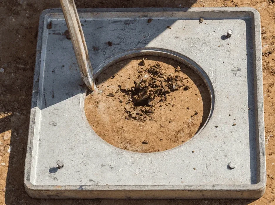
What is the difference between a CPT-based and an SPT-based liquefaction analysis?

The CPT provides a near-continuous profile of soil behaviour with depth, capturing thin liquefiable seams that can be missed by the 1.5-metre sampling interval of an SPT, and its electronic transducers eliminate operator-dependent blow-count variability. However, the SPT recovers physical samples for visual classification and fines content testing, so the two methods are complementary. In Napier's variable alluvial and estuarine stratigraphy, we typically run CPT soundings as the primary screening tool and supplement with targeted SPT boreholes where laboratory index testing is needed to refine the fines correction.

How much does a soil liquefaction analysis cost for a typical Napier section?

For a standard residential or light commercial site in Napier requiring one CPT sounding to 20 metres, one SPT borehole, and a laboratory testing suite covering grain-size distribution and Atterberg limits, the investigation and analysis typically falls in the range of NZ$4.590 to NZ$7.060 including the NZGS Module 4-compliant interpretive report. The final cost depends on access conditions, the number of test locations the consent requires, and whether cyclic laboratory testing is deemed necessary by the project geotechnical engineer.

Can ground improvement eliminate liquefaction risk on a Napier site?

Yes, several ground improvement techniques are directly applicable to the silty sands and reclaimed fills common in Napier. Vibrocompaction and stone columns densify the soil matrix and provide drainage paths that limit pore-pressure accumulation during shaking, while rigid inclusions can transfer structural loads through the liquefiable layer to competent bearing strata below. The feasibility of each method depends on the fines content—soils with more than 15 percent silt require a careful evaluation of drain effectiveness—and the proximity to neighbouring structures that may be sensitive to vibration during installation.

Location and service area

We serve projects in Napier and surrounding areas.

View larger map