The NZGS Module 1 guidelines for soil description are the benchmark for every project in Napier, and with good reason. The city sits on a layered profile of marine terraces, alluvial silts from the Tutaekuri River, and wind-deposited loess covering the hills of Taradale. These fine-grained soils shift their behavior dramatically with small changes in moisture content. We determine the liquid limit, plastic limit, and plasticity index so the engineering team can classify the material precisely. Many sites in Napier, particularly those east of Taradale Road, contain silts that look stable during the dry Hawke's Bay summer but become problematic after the first heavy rainfall. Our laboratory applies the cone penetrometer and Casagrande cup methods in parallel. For deeper investigation of the bearing stratum, we often pair this data with an in-situ permeability test to understand drainage characteristics. The transition from plastic to liquid state is not just a number in Napier — it defines whether your foundation needs to go 1.2 meters deep or 2.5 meters deep. We also integrate classification with a triaxial shear program when the plasticity index suggests potential for undrained failure in the silty layers common under the Ahuriri and Onekawa industrial subdivisions.
A plasticity index above 25% in Napier's loess-derived silts signals a soil that will swell and shrink with seasonal moisture cycles — a critical factor for shallow foundation performance.
Local context
Napier's microclimate creates a specific risk profile for projects that skip Atterberg classification. The city averages only 800 mm of rain annually, but when Cyclone Gabrielle struck in February 2023, the saturated silts across Esk Valley and parts of Taradale lost all cohesion. A soil that tested at 22% moisture in January swelled to 40% by mid-February, crossing the plastic limit threshold and entering a semi-liquid state. This is not a rare event — the Hawke's Bay region has recorded six significant flood events in the last 30 years. Foundations designed without plasticity data rely on assumptions about shrink-swell potential that fail when the soil transitions from dry summer consistency to winter saturation. The Tutaekuri River floodplain silts, which underlie much of the industrial land between Pandora and Onekawa, exhibit a PI frequently exceeding 20%. Ignoring that number means the ground improvement specification — whether it calls for stone columns or lime stabilization — is based on guesswork rather than material behavior. Even on the gravelly terraces near Bluff Hill, thin interbedded silt lenses can create differential movement if their Atterberg characteristics are not mapped across the site.
Reference standards
NZS 4402:1986 Methods of testing soils for civil engineering purposes (Test 2.1, 2.2, 2.3, 2.4), NZGS Module 1: Guideline for the field classification and description of soils, NZS 3604:2011 Timber-framed buildings (foundation depth based on soil group classification), AS 1289.3.1.1:2009 (accepted reference in NZ practice for liquid limit cone method)
Questions and answers
How much do Atterberg limits tests cost per sample in Napier?
The standard classification suite including liquid limit, plastic limit, plasticity index, and natural moisture content ranges from NZ$110 to NZ$190 per sample, depending on whether we pick up the samples from your site or you deliver them to the lab. Rush testing with a 48-hour turnaround adds a surcharge. For large subdivision projects with 30+ samples, we offer a volume-based rate that brings the per-unit cost toward the lower end of that range.
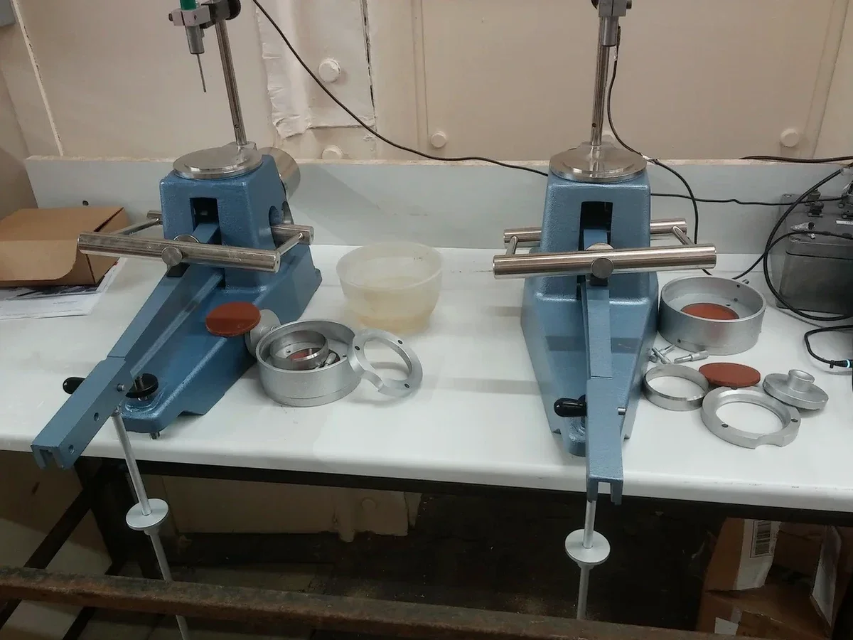
Which Atterberg test method do you use — Casagrande cup or cone penetrometer?
We run both methods when the sample quantity allows. The Casagrande cup is the standard reference in New Zealand under NZS 4402:1986 Test 2.1, and it is the method most council geotechnical reviewers in Napier expect to see. The cone penetrometer method (following BS 1377 or AS 1289.3.9.1) gives more reproducible results for silts with liquid limits above 50%, which are common in the Hawke's Bay loess. We report the Casagrande value as primary and include the cone result as supplementary data when correlation is requested.
How long does it take to get Atterberg limits results back?
Standard turnaround is 4 to 5 working days from sample receipt. The air-drying step alone takes 24 to 48 hours for the wet silts we receive from Napier sites, especially during winter months when natural moisture content is high. We can expedite to 2 working days using oven-drying at 50°C for the plastic limit preparation, though this slightly reduces precision for highly organic silts. Projects on tight timelines — for example, earthworks consent conditions requiring classification before the next inspection hold point — should schedule testing in advance.
What soil types in Napier benefit most from Atterberg limits testing?
The fine-grained soils that dominate the Napier landscape are exactly where Atterberg limits provide the most engineering value. The Tutaekuri River alluvial silts, the loess caps on the Taradale and Poraiti hills, and the estuarine clays around Ahuriri all exhibit plasticity characteristics that directly control foundation performance. Even the volcanic ash lenses found interbedded with the loess near Bluff Hill can produce misleading field descriptions — a soil that feels silty to the touch can actually plot as a high-plasticity clay on the Casagrande chart, which changes the allowable bearing pressure and the required foundation depth under NZS 3604.